
High-Accuracy 3D Laser Scanning Services
Across the UK
3D laser scanning is an advanced measurement method that captures millions of precise data points across a site or structure.
Using professional 3D laser scanners, the technology records surfaces in the form of a dense point cloud - a highly detailed digital representation of real-world conditions.
Unlike traditional surveying, which measures individual points one at a time, 3D laser scanning captures entire environments in a matter of hours. This makes it particularly effective for complex buildings, industrial facilities, infrastructure assets and constrained spaces across the UK where speed and accuracy are critical.
If your project involves irregular geometry, tight access, intricate plant layouts or heritage structures, 3D laser scanning provides the level of detail required for confident design and coordination.
How 3D Laser Scanning Works
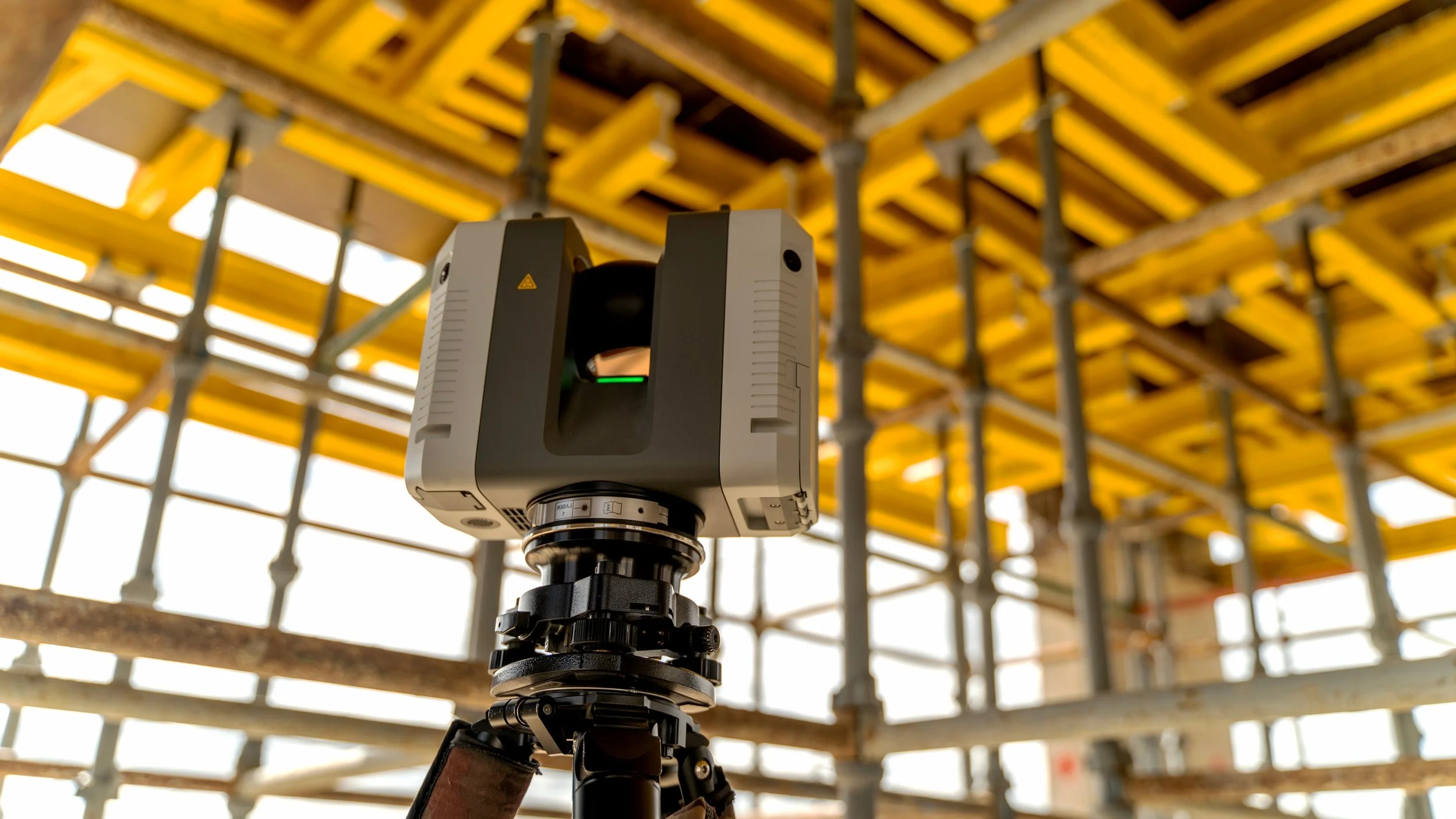
Professional 3D laser scanners emit laser pulses that reflect off surfaces and return to the instrument.
Each return creates a measured point in space. When millions of these points are combined, they form a high-density point cloud that can be used for modelling, analysis and verification.
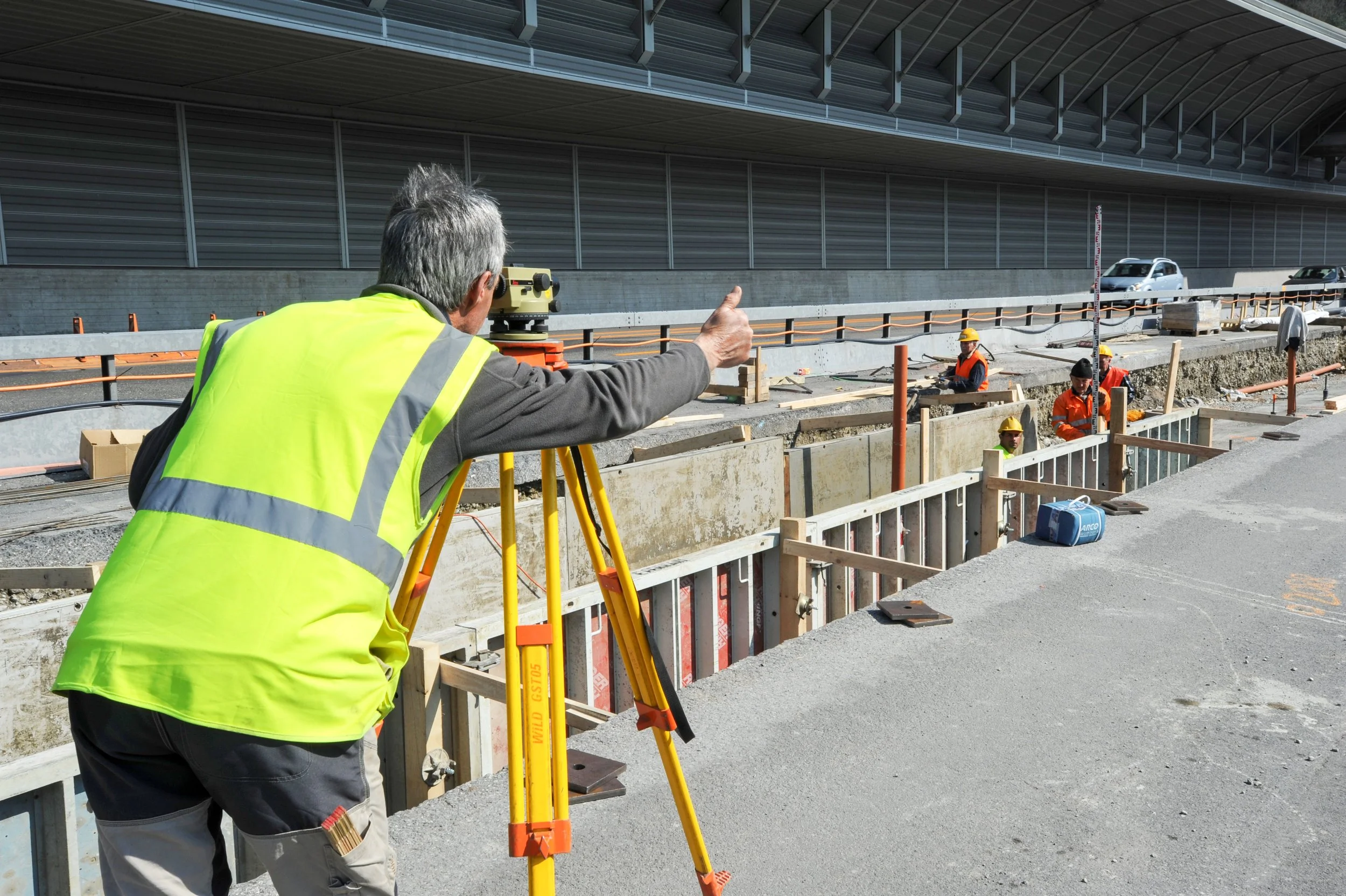
This approach differs significantly from conventional total station surveys. Rather than selecting specific measured points, you receive a comprehensive digital record of the environment. That means fewer return visits, improved design accuracy and greater flexibility during later stages of your project in the UK.
What’s Included in a 3D Laser Scanning Survey?
Our 3D laser scanning services in the UK follow a structured, quality-controlled process to ensure reliable results. This typically includes:
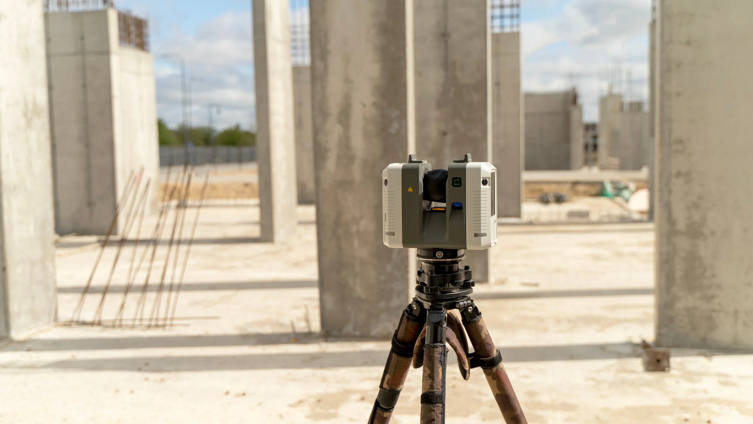
Site setup and scanner positioning: Strategic placement of 3D laser scanners to maximise coverage and minimise blind spots.
Capturing high-density point cloud data: Recording millions of measurement points to create a detailed digital dataset.
360° scanning process: Full panoramic capture to document all visible surfaces within range.
Target placement and registration: Establishing common reference points between scans for accurate alignment.
Data stitching and registration process: Combining multiple scan positions into a unified coordinate system.
QA and verification: Structured checks to confirm alignment accuracy and data integrity before issue.
The result is a precise, measurable digital environment that can support measured building surveys, topographical surveys, Scan-to-BIM workflows and engineering verification projects across the UK.
Why 3D Laser Scanning Is Ideal for Complex Environments
Complex sites often contain irregular forms, hidden services, high-level features or congested plant areas.
Traditional surveying methods can struggle to capture this level of detail within practical timeframes.
With 3D laser scanning, you gain a complete visual and dimensional record of the site. This reduces assumptions in design, supports clash detection and enables accurate as-built documentation. For refurbishment, retrofit, industrial modification or asset management projects in the UK, that level of certainty can significantly reduce risk.
By combining experienced survey control with professional 3D laser scanners, your project benefits from accurate data that integrates directly into CAD and BIM environments.
If you require 3D laser scanning services in the UK, speak with our team to discuss site access, deliverables and programme requirements.