
Bathymetric Surveys Across the UK
Bathymetrics is the underwater equivalent of a topographical survey. It measures depths and maps submerged terrain across riverbeds, lakes, reservoirs, harbours and coastal environments.
Where a land topographical survey records surface features and levels above ground, bathymetrics focuses on what lies beneath the waterline.
For engineering, environmental and dredging projects in the UK, understanding underwater conditions is essential. Water depth variations, sediment build-up and hidden obstructions can directly affect structural design, navigation, flood modelling and construction methodology.
An underwater topographical survey provides the accurate, measurable data required to plan works safely and efficiently.

What a Bathymetric Survey Measures
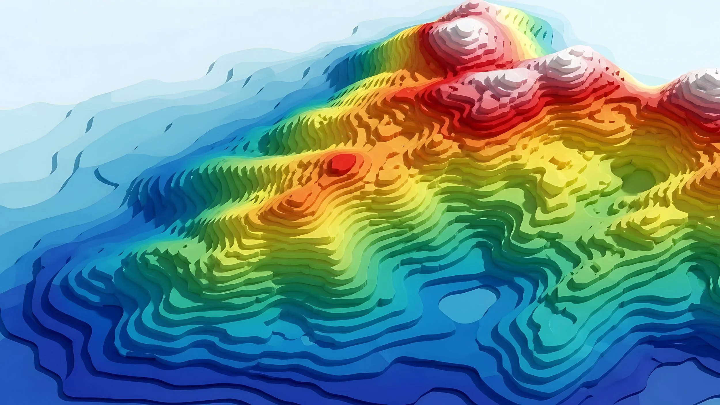
Bathymetrics - underwater topographical survey of riverbeds, lakes, reservoirs, harbours and similar environments - captures detailed depth and terrain information using specialist survey equipment.
A typical bathymetric survey in the UK may include:
Water depths: Accurate depth measurements referenced to a defined datum.
Underwater contours: Submerged contour mapping to show changes in bed levels.
Riverbed or seabed profiles: Longitudinal and transverse profiles to support engineering design.
Cross sections: Structured sections across channels, basins or harbour areas.
Sediment build-up: Identification of siltation patterns that may affect capacity or navigation.
Obstructions or debris - if detectable: Recorded features that could impact works or vessel movement.
Volume calculations: Quantified dredging volumes or storage capacity assessments.
By measuring depths and underwater features accurately, bathymetrics supports infrastructure upgrades, flood risk management, bridge works, intake structures and marine projects across the UK.
Bathymetrics vs Land Topographical Surveys
Although both disciplines measure terrain, the environments and methods differ significantly.
A land topographical survey records natural and man-made features above ground level, including levels, boundaries and structures. Bathymetrics focuses on submerged terrain and underwater geometry. The equipment, data capture techniques and safety considerations reflect these different conditions.
For projects that span both land and water - such as river developments or harbour upgrades - integrated topographical and bathymetric data ensures consistent levels and coordinated design.
Why Accurate Underwater Survey Data Matters
Accurate bathymetric data reduces uncertainty. For dredging works in the UK, clear volume calculations prevent underestimation or over-excavation. For environmental assessments, understanding sediment build-up and bed levels supports compliance and sustainable planning. For engineering design, reliable depth and profile information improves structural positioning and foundation design.
Without structured underwater topographical survey data, decisions are based on assumptions. With bathymetrics, you gain measurable, defensible information to guide project delivery. If you require bathymetrics - underwater topographical survey services in the UK - speak with our team to discuss your project scope, access requirements and reporting outputs.
If you require bathymetrics - underwater topographical survey services in the UK - speak with our team to discuss your project scope, access requirements and reporting outputs.