

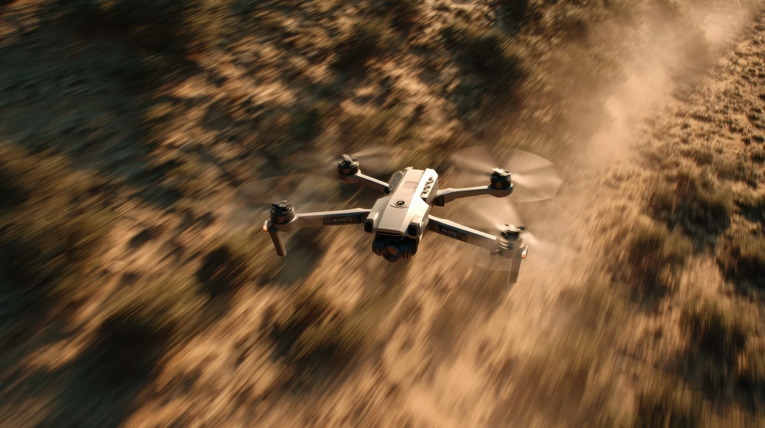
UAV and Drone Surveys Across the UK
UAV (Unmanned Aerial Vehicle) / drone surveys provide fast, accurate aerial data capture for land, infrastructure and construction projects.
By deploying controlled aerial platforms, you gain access to detailed spatial information without the limitations of ground-only surveying.
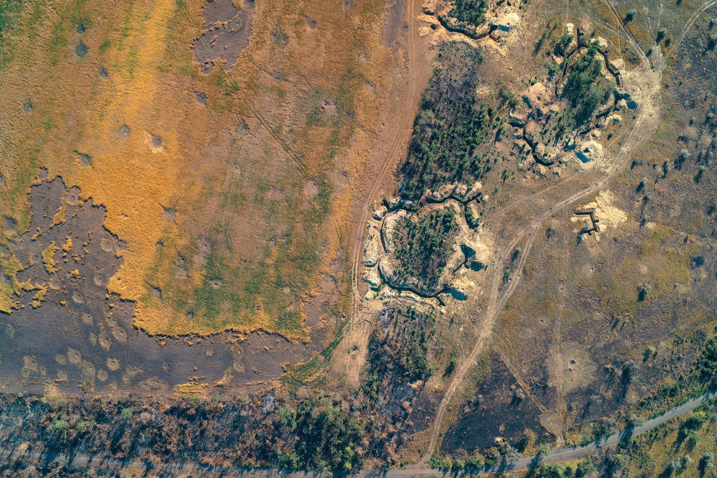
Drone surveys differ from traditional ground surveys in both perspective and efficiency. While total stations and GNSS equipment capture selected measured points, UAV surveys record extensive visual and positional data across entire sites. This makes them particularly effective for large areas, complex terrain and locations where access is restricted.
For projects across the UK involving development land, infrastructure corridors or elevated assets, UAV (Unmanned Aerial Vehicle) / drone surveys offer a practical, safe and measurable solution.
What Is Structure from Motion (SFM)?
Structure from Motion (SFM) is a photogrammetry process that creates 3D models from overlapping photographs. In simple terms, multiple high-resolution images are captured from different angles.
Specialist software identifies common points between images and reconstructs the geometry of the scene.
Through this process, overlapping geo-referenced photos are transformed into accurate 3D point clouds and digital surface models. Unlike LiDAR-based laser scanning, which uses laser pulses to measure distance, SFM relies on image analysis to calculate depth and position. When site conditions allow, Structure from Motion (SFM) can be a cost-effective method for generating detailed terrain and volume data across large areas in the UK.
What Data Is Captured and Delivered?
UAV and SFM surveys are designed to produce structured outputs suitable for engineering, planning and asset management. Depending on project scope, this may include:
High-resolution aerial imagery: Detailed visual coverage of the entire site.
Overlapping geo-referenced photos: Image datasets aligned to known coordinate systems.
Ground Control Points (GCPs): Surveyed reference points used to improve positional accuracy.
RTK/PPK positioning (if used): Enhanced accuracy through real-time or post-processed kinematic data.
Elevation data and terrain models: Digital representation of surface levels.
Volumetric data: Calculated stockpile or excavation volumes.
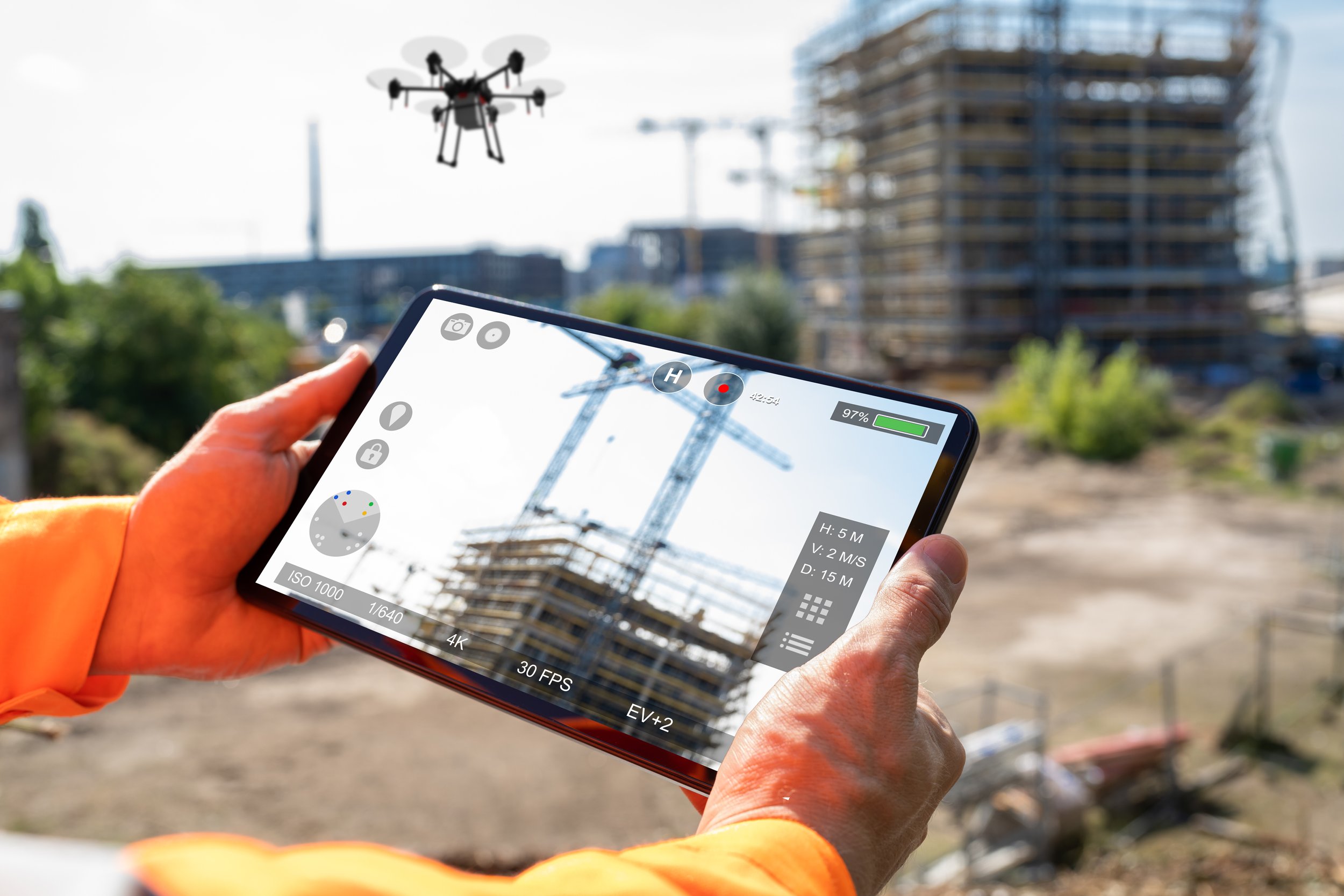
From this dataset, clients typically receive:
Orthomosaic maps: Geometrically corrected aerial maps suitable for measurement.
3D textured models: Visual digital reconstructions of the site.
Point clouds (.LAS / .E57 etc.): Exportable datasets for CAD and BIM workflows.
Digital Surface Models (DSM) and Digital Terrain Models (DTM).
Contour plans and CAD drawings: Structured outputs for design use.
Volume calculation reports: Documented measurements for materials management.
Geo-referenced outputs: Data aligned to recognised coordinate systems used in the UK.

Applications and Benefits of UAV and SFM Surveys
Topographical surveys on large land and development sites
Quarry mapping and stockpile volume calculations
Infrastructure corridor mapping
Roof inspections and façade assessments
Construction progress monitoring
Agricultural land surveys
Environmental surveys
Flood risk assessment support
The key benefits include rapid data capture over large areas, reduced time on site and minimal disruption to operations. Drone surveys are often safer than traditional access methods, particularly for elevated or hazardous environments. High-resolution visual data can also be repeated at intervals to track progress or change over time.
For projects across the UK where scale, access or efficiency are critical factors, UAV and SFM surveys provide a flexible and measurable approach to aerial data capture.
If you require UAV (Unmanned Aerial Vehicle) / drone surveys or Structure from Motion (SFM) services in the UK, speak with our team to discuss your site and reporting requirements.