

Professional Topographical Survey Services Across the UK
A topographical survey is a detailed and accurate measurement of your land or site.
It records both natural and man-made features, giving you a clear understanding of levels, boundaries, and physical constraints before design or construction begins.
If you are planning development, refurbishment, infrastructure works or site acquisition in the UK, a professional topographical survey provides the reliable foundation your project depends on. Without precise site data, design decisions are based on assumptions. With it, you gain clarity, control, and confidence.
As a specialist topographical survey company operating throughout the UK, 3D Metrology Solutions delivers precise, structured data that supports architects, engineers, developers and contractors at every stage of a project.This data can then be used to create detailed 3D models, which help in planning, design, and analysis. Laser scanning also enhances safety by minimising the need for employees to work in hazardous environments, as measurements can be taken remotely.
What a Topographical Land or Building Survey Measures
A topographical land survey captures the full picture of your site.
This includes:
Ground levels and spot heights: Accurate site levels to inform drainage design, cut and fill calculations, and planning.
Contours and terrain modelling: Detailed contour survey data to show changes in elevation.
Buildings and structures: Existing properties, walls, outbuildings and structural features.
Roads, footpaths and kerbs: Highway interfaces and access points.
Trees, vegetation and water features: Natural elements that may affect planning or environmental considerations.
Drainage features: Manholes, covers and gullies, with invert levels where required.
Visible utilities: Surface features linked to underground services.
Site boundaries and fencing: Clearly mapped extents of ownership.
Street furniture: Lighting columns, signage, bollards and related features.
Whether you require a land topographical survey for a development site or a topographical land and building survey within a constrained urban environment in the UK, the level of detail is tailored to your project requirements.
How a Topographic Survey Differs from Other Surveys

Understanding the difference between survey types helps you commission the right service.
A measured land survey - often used interchangeably with a land mapping survey - focuses specifically on mapping land features and levels. A site elevation survey or site levels survey concentrates primarily on height data. A contour survey emphasises terrain modelling.
By contrast, a full topographical survey brings all of this information together into one coordinated dataset. It is broader in scope than a boundary survey and different from a measured building survey, which documents internal layouts and structural elements of an existing property. It also differs from setting out, which transfers design coordinates onto site during construction.
Choosing comprehensive topographic survey services in the UK ensures your design team works from accurate, coordinated information rather than fragmented data.
Your topographical survey data is supplied in formats suited to modern workflows. Depending on your needs, outputs can include:
2D CAD drawings
3D terrain models
Contour plans
Digital survey files compatible with BIM environments
PDF plans for planning and submission purposes
By integrating measured land survey data into your wider design process, you reduce risk, prevent clashes, and avoid costly revisions later in the project lifecycle.
Deliverables That Support Design and Construction
Accurate, Reliable Surveys Across the UK
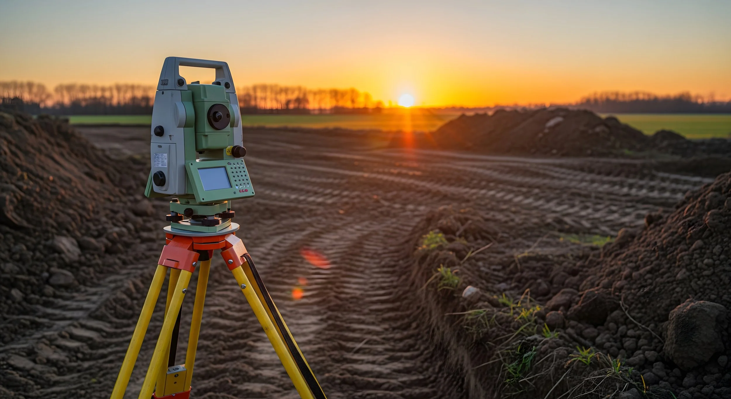
When you appoint a topographical survey company, accuracy matters.
Survey control, calibrated equipment and structured quality checks ensure your site levels survey and land mapping survey data are dependable.
Whether you need a topographical land survey for residential development, infrastructure works or commercial schemes in the UK, you receive clear, coordinated information designed to support confident decision-making.
If you are planning a project and require professional topographical survey services in the UK, speak with our team today.