

Professional Utility Mapping Across the UK
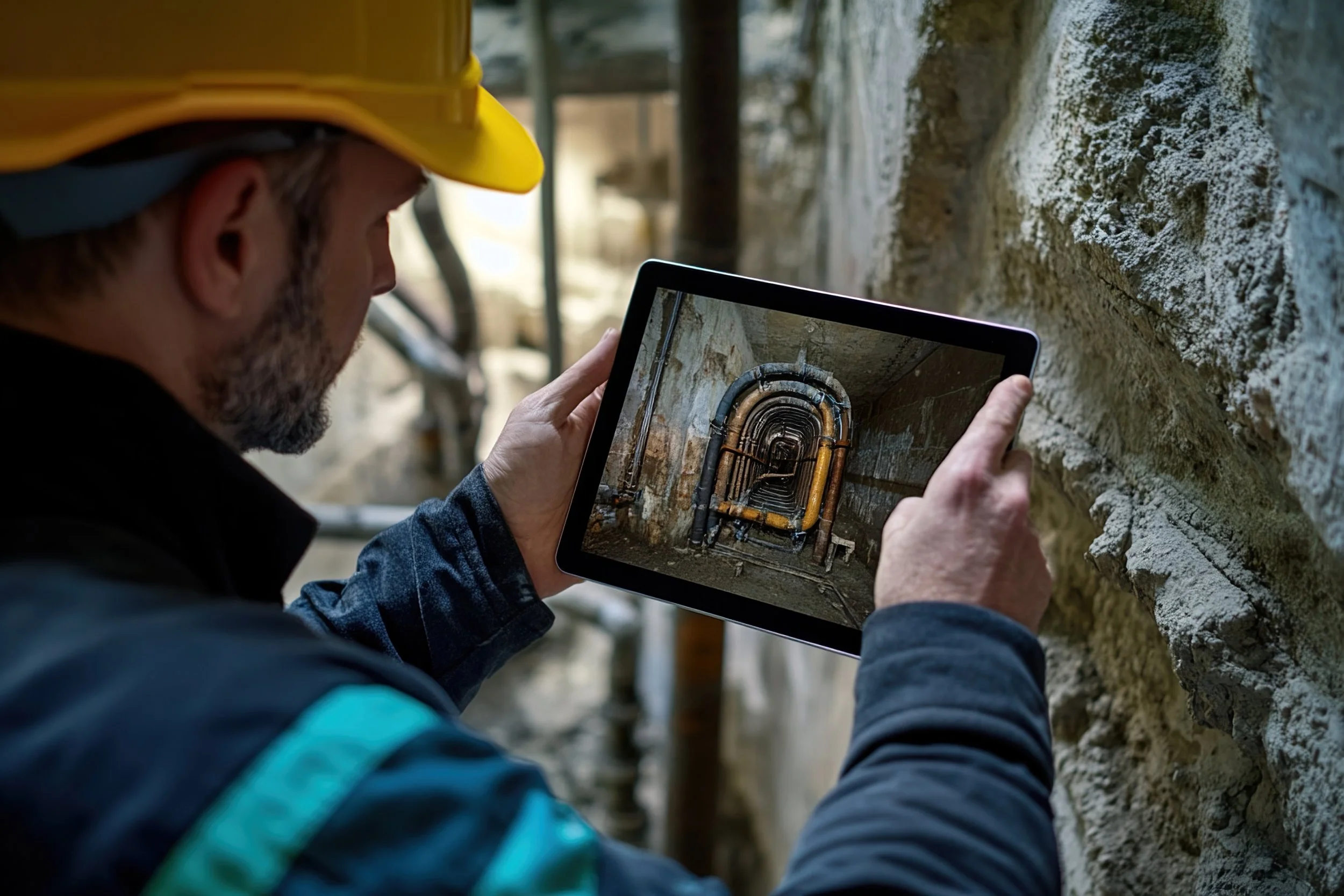
Utility mapping identifies and records buried services beneath your site. Before excavation, redevelopment or infrastructure upgrades begin, you need clarity on what lies below ground.
A professional utility survey reduces risk, protects personnel, and prevents costly damage to live assets. If you are planning groundworks or design works in the UK, mapping buried services is not optional - it is essential. Striking a water main, gas pipe or electricity cable can halt projects, increase costs and create serious safety hazards. Clear utility mapping survey services give you accurate, structured data so you can design and build with confidence.
Unlike a topographical survey, which records surface features and levels, utility mapping focuses specifically on underground infrastructure. It complements land surveys by providing the hidden layer of information required for safe planning.
What a Utility Survey Includes
A comprehensive utility survey is designed to detect, trace and record existing services across your site. Depending on scope and site conditions, utility mapping in the UK may include:
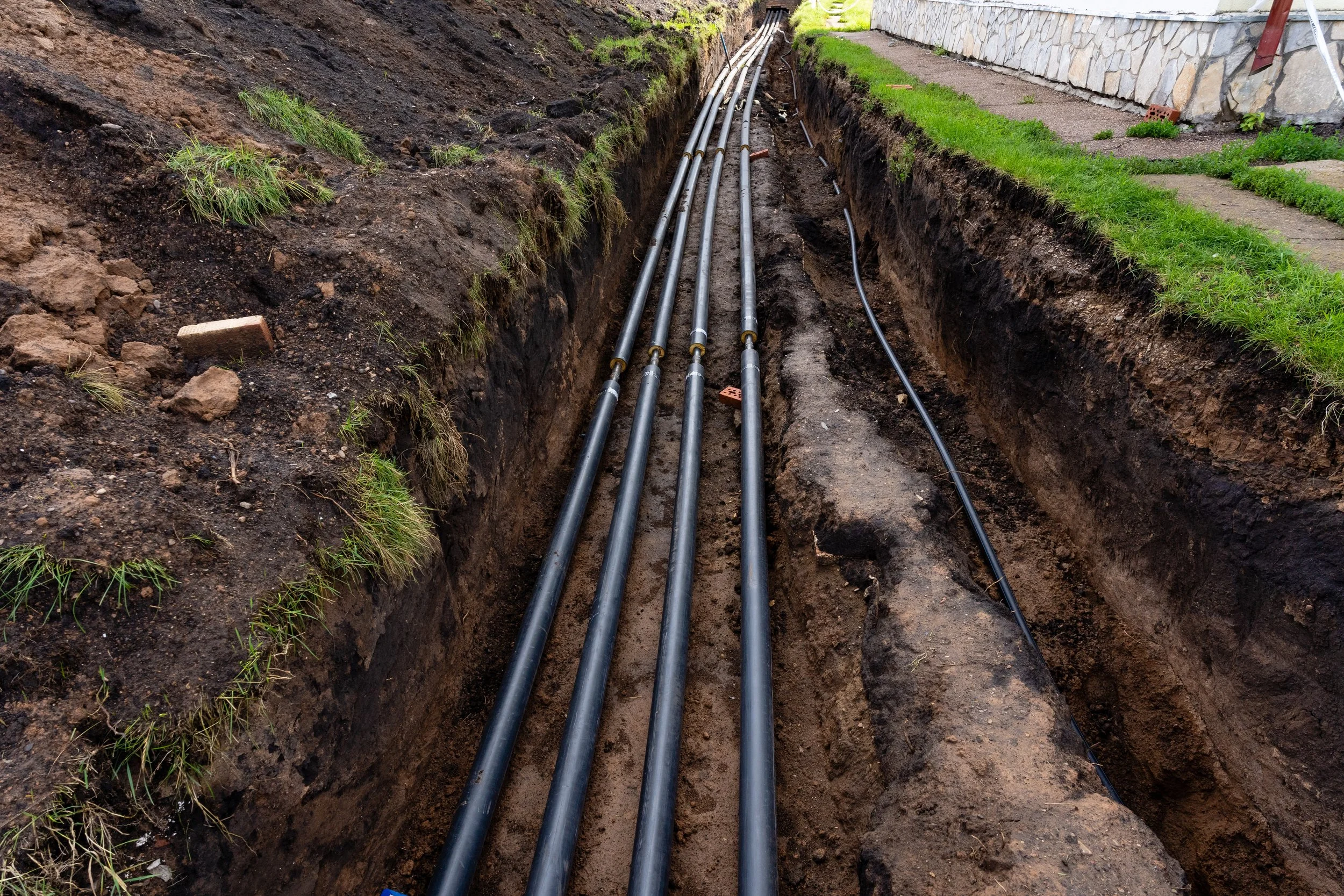
Water mains: Location and depth of potable and non-potable supply lines.
Gas pipes: Identification of live gas infrastructure to protect excavation works.
Electricity cables - LV & HV: Low voltage and high voltage cable routes mapped for safety and coordination.
Telecommunications and fibre optics: Data and communications networks serving the site.
Drainage and sewer systems: Foul and surface water infrastructure where accessible.
District heating systems: Mapped routes for centralised heat distribution networks.
Unknown or redundant services: Identification of disused or undocumented assets where detectable.
By delivering structured outputs that integrate with your wider design information, utility mapping survey services help you avoid clashes during construction and reduce unforeseen ground risks.
Why Utility Mapping Matters Before Design or Excavation
Mapping buried services at an early stage allows engineers and contractors to plan safe excavation zones, coordinate new service installations and protect existing infrastructure.
Without a reliable utility survey, designs may conflict with underground assets, leading to redesign, delays or emergency works. In contrast, detailed utility mapping across the UK supports informed decision-making and safer site management.
For developers, contractors and consultants working in the UK, commissioning professional utility mapping is a practical step that protects programme, budget and safety.
If you require utility mapping survey services in the UK, speak with our team to discuss your project scope and site requirements.